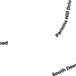
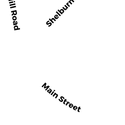
92 WEST PARSONS DR
Owner Information
BLAYLEY'S REVOCABLE TRUST
92 WEST PARSONS DRIVE
CONWAY, MA 01341


Property Details
92 WEST PARSONS DR is classified as a Single Family Residential (Rc).
The primary structure on this property was built in 1986. There is 1974ft2 of residential/living space within this property. This property is listed as having 8 rooms.
92 WEST PARSONS DR is valued at 325200. The land is valued at 75400 and the structures are valued at 249800. There is an additional valuation of 34600 on this property.
This property is in Zone 4A. Confirm with local Zoning Board authorities to ensure there are no overlays or other easements on this property.
The most recent deed for 92 WEST PARSONS DR is recorded at the local registrar in Book 7265, Page 239. 92 WEST PARSONS DR was last sold on 2018-10-03 for 372000.
Assessment data from fiscal year 2020.
Flood Data
According to the FEMA National Flood Hazard Layer, this property does not appear to be in a flood zone. It may also be in an area not yet reviewed. Nonetheless, confirm this information prior to taking any action.
To view the flood hazards around this property, create a FEMA "Firmette" Map of the area around 92 WEST PARSONS DR.
Broadband Internet Providers
| Provider | Type | Bandwidth (mbps) | |
|---|---|---|---|
| Verizon New England Inc. | DSL | 15 | 1 |
| Viasat Inc | Satellite | 100 | 3 |
| Comcast | Cable | 1000 | 35 |
| GCI Communication Corp. | Satellite | 0 | 0 |
| HughesNet | Satellite | 25 | 3 |
| VSAT Systems, LLC. | Satellite | 2 | 1 |
Broadband service provider data from December 2020.
Adjacent Properties
- 72 PARSONS HILL DR
Single Family Residential owned by OUIMETTE, KENNETH D. - 40 PARSONS HILL DR
Single Family Residential owned by CARMICHAEL, JAMES A. - 111 WEST PARSONS DR
Single Family Residential owned by ATKINSON, PETER - 24 PARSONS HILL DR
Single Family Residential owned by TABERY, MIDORI K. - 56 WEST PARSONS DR
Single Family Residential owned by CONROY, CATHERINE D. - 32 ELM ST
Single Family Residential owned by KUZMESKUS, JACOB P.